
The 2015 AGU Early Career Scientist Conference will feature a 1-hour session on Remote Sensing in the Geosciences. The goal of session is to provide early career scientists with an overview of a few cutting-edge remotely sensed data products, and their applications in hydrology.
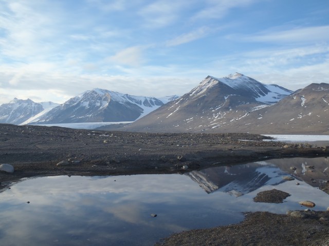
This session will feature three speakers: George Roth, an engineer at the Polar Geospatial Center at the University of Minnesota, will discuss the power of very high-resolution commercial satellite imagery. Chris Crosby, a project manager at UNAVCO in Boulder Coloroado, will share recent advancements in Terrestrial Laser Scanning (TLS) and how OpenTopography can help early career scientists access high-resolution topographic data for FREE! Joe Levy, at the University of Texas at Austin, will cap the session off with a captivating research presentation showing how TLS and high-resolution commercial satellite imagery help us understand basic hydrologic process in the McMurdo Dry Valleys of Antarctica, an fantastic Earthly analog to Mars.
(c) Adam Wlostowski
